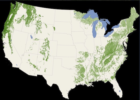
Scientists, using three NASA satellites, have created a first-of-its-kind map that details the height of the world’s forests. The data was collected from NASA’s ICESat, Terra and Aqua satellites. The latter two satellites are responsible for most of NASA’s Gulf spill imagery. The data collected will help scientists understand how the world’s forests both store and process carbon. While there are many local and regional canopy maps, this is the very first global map using a uniform method for measure. … Read the full story on TreeHugger

Originally posted here:
NASA Creates World’s First Global Forest Map Using Lasers


